Our Services

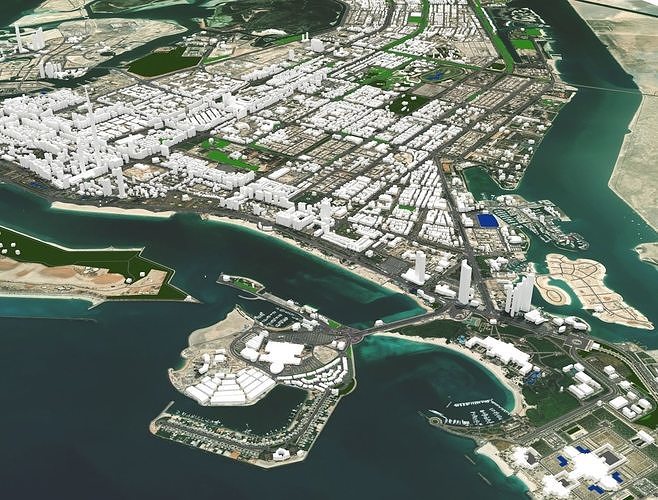
Geospatial Mapping and Modelling
We specialize in harnessing the power of spatial data to assist our clients in important environmental planning decisions. We have partnered with a leading GIS and spatial analysis firm, bringing a team of GIS specialists to Terra Nexus, to assist our environmental planning experts in providing spatial analysis, remote sensing, and geographic information systems to assess sensitivity, patterns, and development suitability and drive intelligent planning solutions.
Whether you’re developing a new urban district, revitalizing existing infrastructure, conserving natural environments, or assessing your site’s suitability for development, our team will help guide your development while ultimately maintaining the balance between human needs and the environment.

Our services include:
- Land Cover Classification
- Site Suitability Assessment
- Site Sensitivity Analysis
- Environmental planning design support
- GIS mapping and modelling
- Client:
- Location:
- Service: